No products in the cart.
GPS Navigator
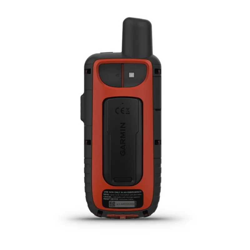
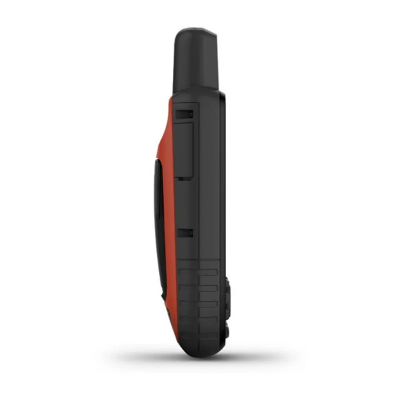
Garmin GPSMAP 66i
Key Features:
- Multi-band GNSS support: Provides highly accurate positioning, even in challenging environments.
- Navigation: Accurate GPS positioning, preloaded TopoActive maps, electronic compass, altimeter, barometer.
- Communication: Two-way messaging, interactive SOS, weather updates.
- Durability: Built tough with a water-resistant design.
- Additional features: Long battery life, expandable memory, and geocaching support.
*Kindly Note that Price and Availability are Subject to Change without Any Prior Notice!
KSh70,500
Garmin GPSMAP 66i in Kenya
The Garmin GPSMAP 66i is a rugged handheld GPS satellite communicator that seamlessly combines precise navigation with global communication. Its 3-inch sun-readable color screen ensures easy viewing, even in bright conditions. Key features include interactive distress triggering via the GEOS 24/7 Rescue and Rescue Control Center, binary messaging over the global Iridium satellite network, and preloaded Garmin TopoActive maps for Europe. With direct-to-device downloads of BirdsEye satellite imagery (without an annual subscription) and compatibility with the Garmin Discover website, the GPSMAP 66i is an ideal companion for outdoor adventures in Kenya and beyond. We also have the Garmin GPSMAP 65s GPS, Garmin eTrex SE, Montana 700i, and the Garmin eTrex SE.
Garmin GPSMAP 66i Specifications:
| Specification | Details |
|---|---|
| Physical dimensions | 2.6″ x 6.4″ x 1.4″ (6.6 x 16.3 x 3.5 cm) |
| Display size | 1.5″W x 2.5″H (3.8 x 6.3 cm); 3″ diagonal (7.6 cm) |
| Display resolution | 240 x 400 pixels |
| Display type | Transflective color TFT |
| Weight | 8.5 oz (241 g) |
| Battery | Rechargeable internal lithium-ion |
| Battery life | Up to 35 hours at 10-minute tracking; up to 200 hours at 30-minute tracking (power save mode) |
| Internal memory | 16 GB |
| Sensors | GPS, Galileo, Barometric Altimeter, Compass |
| Connectivity | Wi-Fi, Bluetooth, ANT+ |
| Waterproof rating | IPX7 (device withstands incidental exposure to water up to 1 m for 30 min) |
| Satellite communication | Iridium satellite network for two-way messaging and SOS functionality |
| Maps | Preloaded Garmin TopoActive maps for Europe |
| Geocaching | Paperless geocaching support |
| Wireless data sharing | Direct-to-device downloads of BirdsEye satellite imagery |
| Compatibility | Garmin Explore website and app integration |


There are no reviews yet.